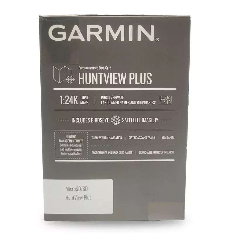
Garmin Huntview Plus Maps 2020/2021, 2021/2022, 2022/2023
Elevate your hunting experience with Garmins Huntview Plus, the latest evolution in hunting maps designed specifically for hunters. Loaded with cutting-edge features, these maps provide unprecedented clarity and detail to help you navigate and plan your hunts more effectively.
Product Features:
BirdsEye Satellite & TOPO Mapping:Combine exclusive BirdsEye Satellite Imagery with detailed 1:24K scale TOPO mapping for unparalleled map clarity and topography detail.
Seamless Integration:Ready-to-use preloaded microSD cards are designed for instant compatibility with all Garmin handheld GPS devices.
Comprehensive Coverage:Our maps are sourced from multiple authorities and provide detailed state-by-state data including routable roads, trails, and extensive land use boundaries like BLM, National Parks, WMAs, and more.
Game Management Zones:Stay informed with designated game management zones, ensuring you know permissible game species and their specific land boundaries.
BaseCamp Software:Enhance your preparation by syncing your GPS to plan hunts, transfer waypoints, and log tracks. The software also allows you to relive your adventures or share them online.
Device Compatibility:Specifically compatible with Garmin GPS models including the Astro 320, 430, and the Alpha 100, 200, 200i, 300, 300i, as well as the Drivetrack 70/71, Tread, and Tread XL.
Additional Benefits:
User-Friendly:Simply plug the microSD card into your device for a hassle-free setup and start navigating immediately.
Stay Updated:Regular updates for parcel data and Hunting Management Units keep you equipped with the most recent and accurate information.
Landowner Information:Access detailed landowner names and boundaries, enhancing your awareness of public and private land divisions.
High-Resolution Topography:Maps that mirror the precision of 1:24,000 scale US Geological Survey maps, ideal for detailed navigation.
Points of Interest:Easily locate parks, summits, businesses, camping areas, and other essential points of interest.
Manage & Plan:Use the included BaseCamp software to manage GPS data, geotag photos, plan your trips, and much more.
Nationwide Availability:Whether you need maps for your state or another, our individual state options have you covered.